
Planning a trip to a national park? Here’s what you need to know about road closures as of March 28, 2026:
- Weather-related closures: High-altitude roads like Trail Ridge Road (Rocky Mountain) and Tioga Road (Yosemite) are closed due to snow, typically reopening by late May or June.
- Construction delays: Yellowstone’s Mammoth Hot Springs area has 15-minute delays due to bridge work, lasting through October 2026.
- Natural disaster recovery: Blue Ridge Parkway sections remain closed for repairs after Hurricane Helene, with some areas inaccessible until late 2026.
- Seasonal closures: Glacier National Park‘s Two Medicine Road closes for upgrades starting in April, reopening May 29, 2026.
Key tip: Always check road conditions before traveling. Use tools like the NPS website, app, or text alerts for updates. Seasonal patterns and construction projects can heavily impact your route, so plan ahead.

National Park Road Closures and Reopening Timeline 2026
Controlled burns in Smoky Mountains to cause temporary road, trail closures
sbb-itb-00512f3
Road Closures in Major National Parks
Here’s a closer look at the current road closures affecting some of the most visited national parks.
Yosemite National Park
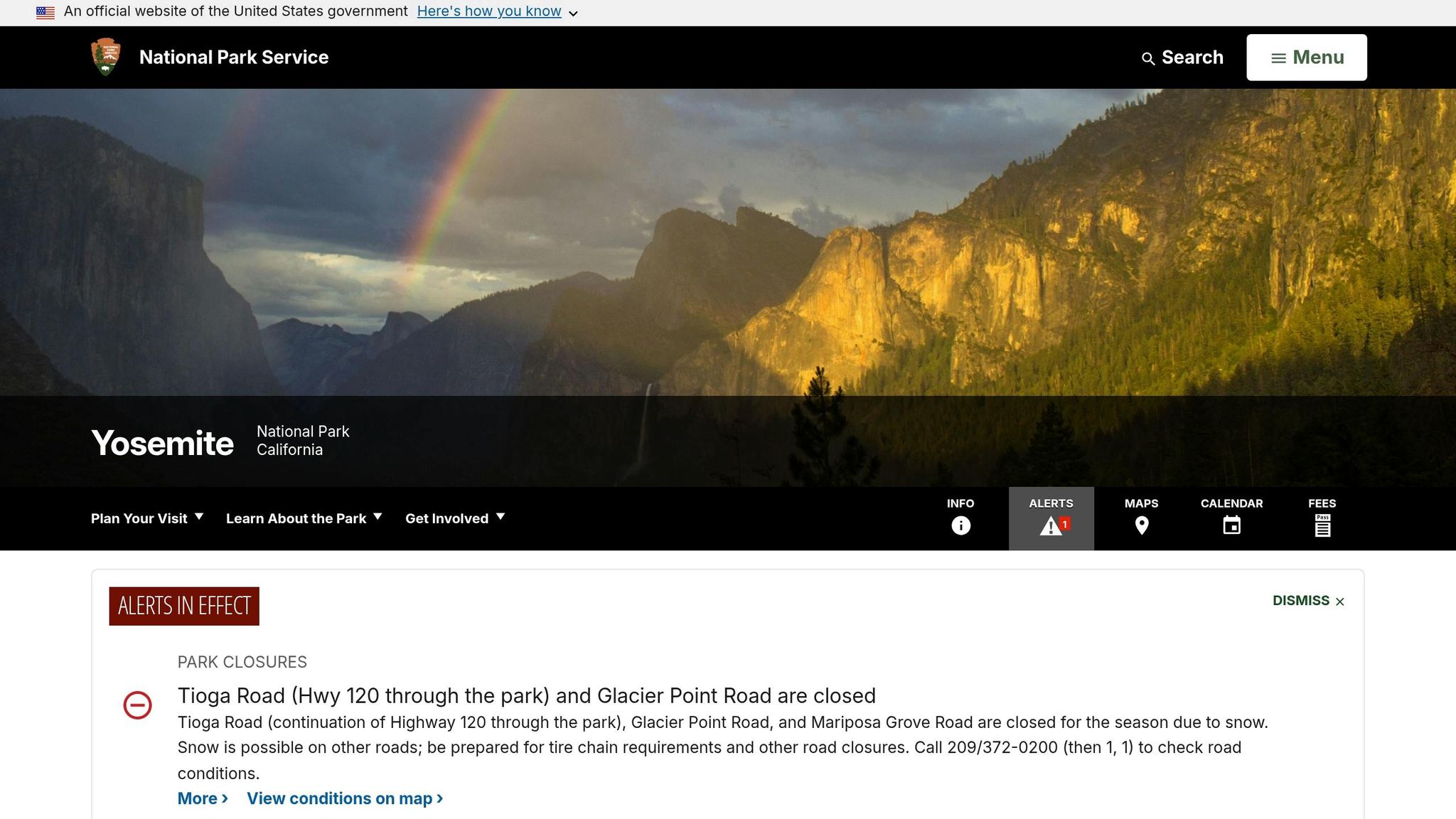
Both Tioga Road and Glacier Point Road are currently closed due to lingering winter snow. These roads typically reopen in late May or early June, depending on how quickly crews can clear them. Plowing operations for Tioga Road are scheduled to begin on April 15, 2026. The National Park Service highlights the importance of these seasonal reopenings:
We’re not just opening a road – we’re essentially opening a park!
If you’re planning a visit, keep these closures in mind and adjust your route as needed.
Glacier National Park
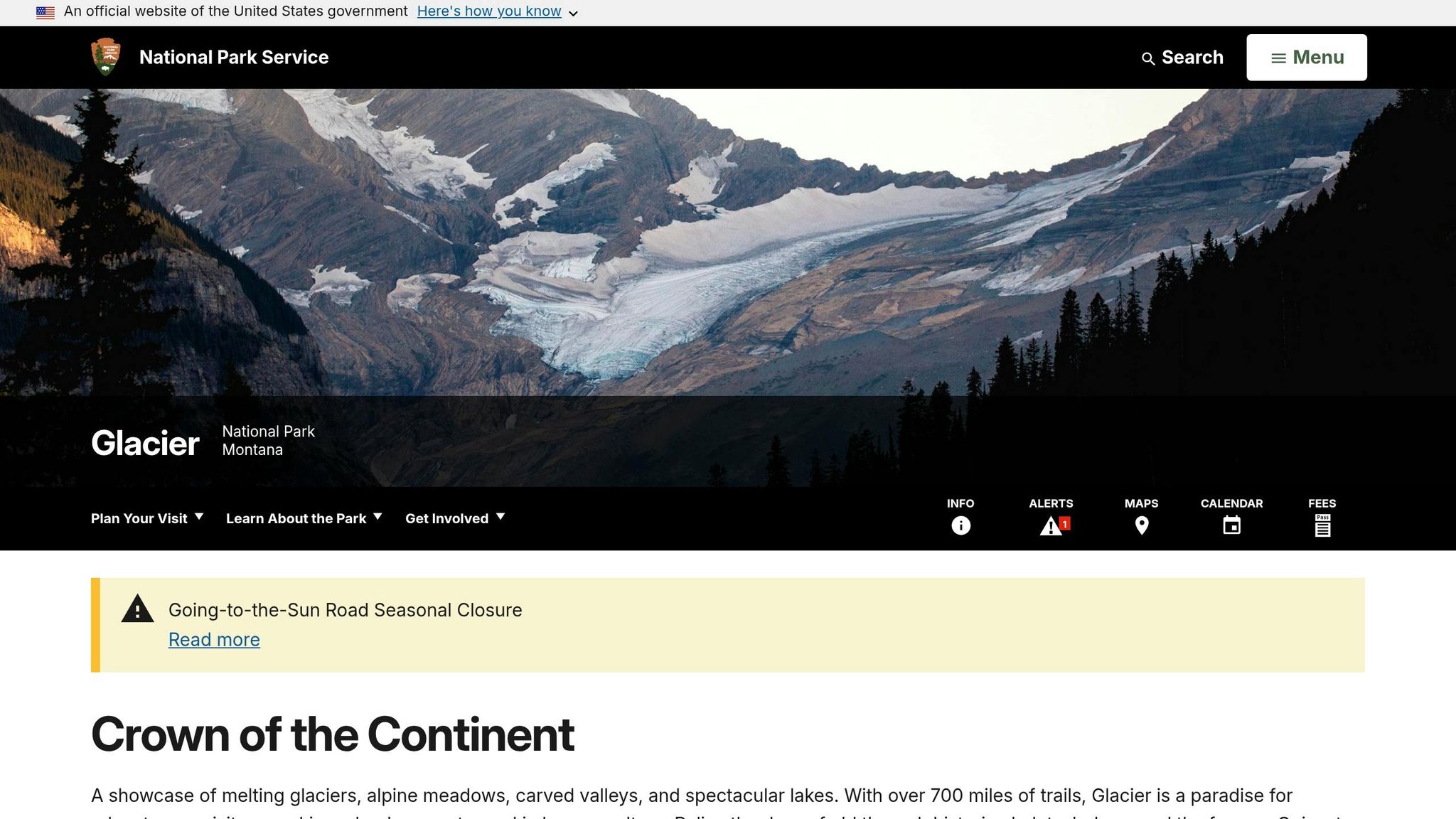
Two Medicine Road will be closed starting in April 2026 for utility and water system upgrades. It’s expected to reopen on May 29, 2026, and stay open until September 7, 2026, aligning with the park’s primary operational season. After that, a fall closure will begin on September 8, 2026, as rehabilitation work continues into late 2027 and possibly 2028. Additionally, the Two Medicine Campground will remain closed for the entirety of the 2026 season.
The Inside North Fork Road between Polebridge Ranger Station and Logging Creek will close on October 4, 2026, with construction wrapping up in November 2026. Meanwhile, the St. Mary Campground will face partial closures from fall 2026 through spring 2027 for water system upgrades. Visitors should plan ahead for alternative accommodations or routes.
Grand Canyon National Park
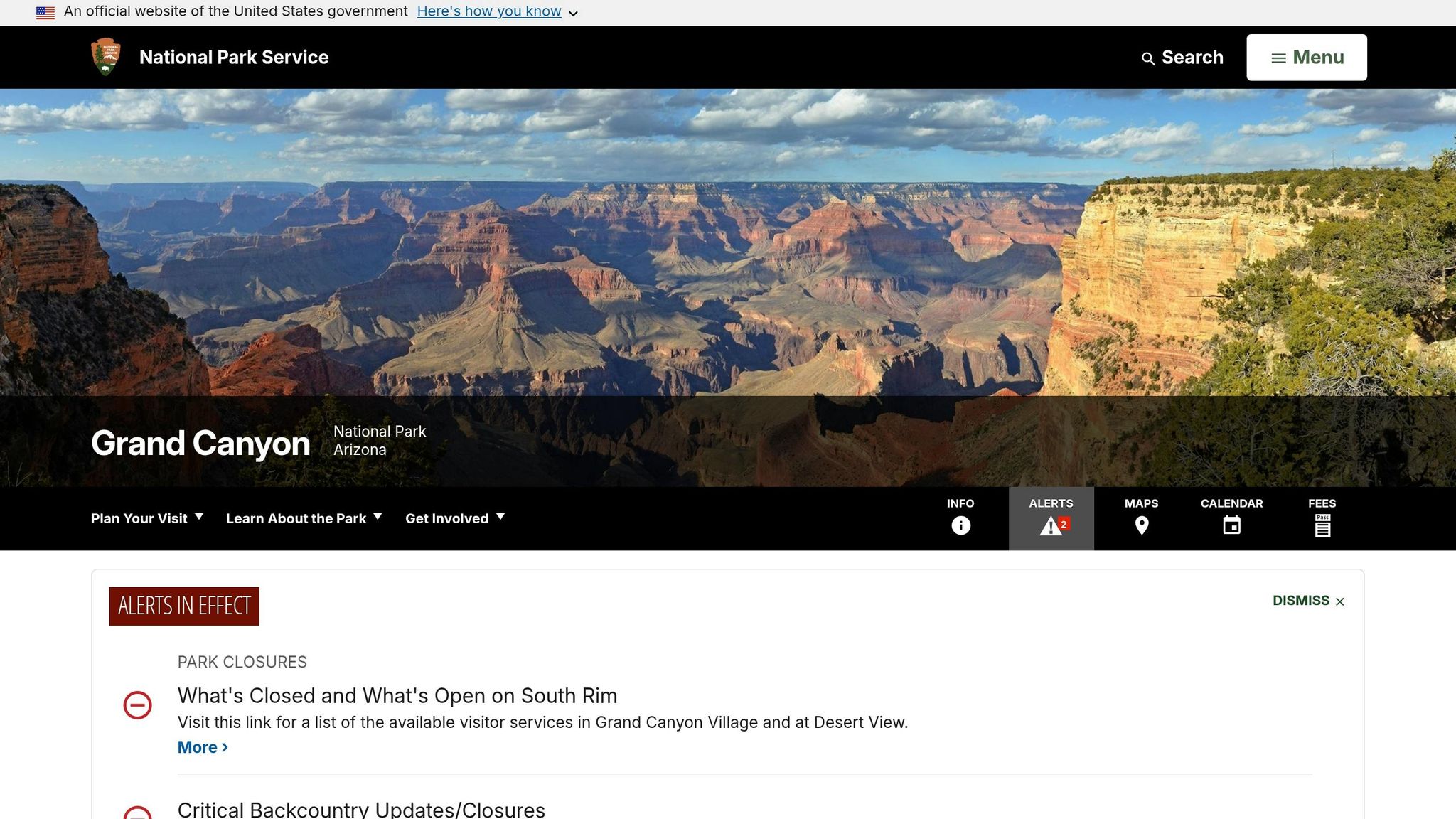
The Transcanyon Waterline project has led to several inner canyon closures, which are expected to last through June 30, 2026. Trails such as the River Trail (from River Resthouse to the South Kaibab Trail junction) and the Silver Bridge will reopen on that date. Similarly, the Plateau Point Trail will remain closed through June 30, 2026. The North Kaibab Trail, from the Ribbon Falls junction to the North Kaibab Trailhead, is set to reopen earlier, on May 15, 2026.
Water services are also affected, with no availability at the South Kaibab Trailhead due to a pipeline break and at Cottonwood Campground due to ongoing construction. Backcountry hikers and inner canyon visitors should plan carefully to navigate these restrictions.
Other Road Closures and Construction Projects
Beyond closures in major parks, several other areas are dealing with roadwork and construction projects through 2026. Staying informed about these updates can help you plan your travels more effectively.
Blue Ridge Parkway
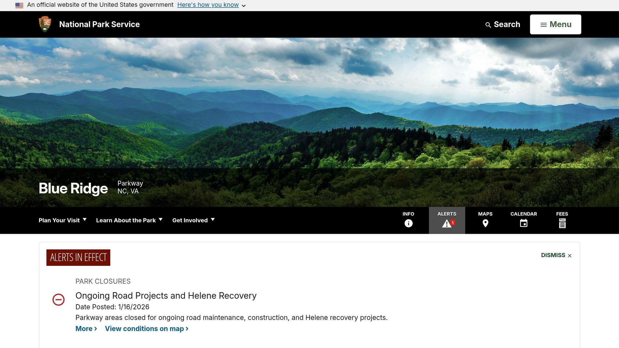
The Blue Ridge Parkway is undergoing extensive work in 2026, driven by hurricane recovery efforts, bridge repairs, and pavement reconstruction. North Carolina sections impacted by Hurricane Helene are expected to reopen by the end of 2026. Over $200 million from the Great American Outdoors Act is being used to address years of deferred maintenance. Travelers should prepare for multiple detours throughout the year.
| Milepost Range | Reason | Closure Type | Detours | Target Completion |
|---|---|---|---|---|
| 63.5 – 63.9 | James River Bridge repairs | Partial/Full | MP 61.4 (VA 130) to US 501; reenter at MP 64 | Ongoing |
| 86 – 89 | Pavement reconstruction (Bedford/Peaks of Otter) | Full | Signed detour via Hwy 43 and Route 460 | Summer 2026 |
| 106 – 112 | GAOA reconstruction | Full | Signed detour via Hwy 43 and Route 460 | Late Spring 2026 |
| 112 – 115 | GAOA reconstruction | Full | Signed detour | Summer 2026 |
| 115 – 121 | GAOA reconstruction | Full | Signed detour | Summer 2026 |
| 200 | Bridge project over I-77 (Fancy Gap) | Full | Detour from MP 199.4 to MP 204.8 | Fall 2026 |
| 276 | Bridge project over US 421 (Deep Gap) | Full | Detour from MP 269.8 to MP 276.4 | Winter 2026 |
| 280 – 285.5 | GAOA pavement and bridge repair (Boone) | Full | Signed detour route in place | Fall 2026 |
| 292.1 – 294.5 | GAOA pavement and bridge repair (Blowing Rock) | Full | Signed detour route in place | Fall 2026 |
| 298.5 – 305.1 | GAOA pavement and bridge repair | Full | Signed detour route in place | Fall 2026 |
| 316.4 – 324.7 | Linville Falls Helene recovery | Full | Recreation prohibited in this section | Summer 2026 |
| 336.3 – 355 | Little Switzerland to Mt. Mitchell Helene recovery | Full | Recreation prohibited in this section | December 2026 |
| 344.4 – 345.6 | Buck Creek Gap Helene recovery | Full | Remaining closed due to nearby slides | TBD (Phase 3) |
Key Reminder: Recreation, such as hiking and cycling, is banned in areas affected by Helene recovery between mileposts 316 and 355. To assist travelers, the Blue Ridge Parkway Foundation has launched the "Detours of Discovery" online tool, which offers alternate route suggestions during closures.
Great Smoky Mountains National Park
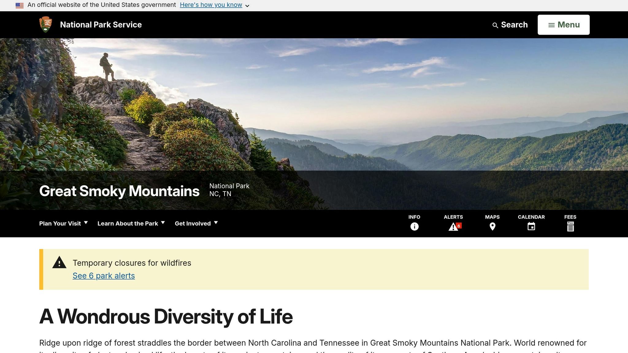
Several areas in the Great Smoky Mountains are closed due to wildfire suppression and ongoing repairs. Abrams Creek Campground Road and the Twentymile Ranger Station area are closed as part of efforts to contain the Rabbit Creek Fire and Fox Gap Fire. Additionally, the Laurel Falls Trail will remain under repair until mid-2026. Other closures include Park Headquarters Road, which is being rehabilitated to improve the Sugarlands water and wastewater systems, and the Townsend Wye parking lot, which will close for a single day on March 30, 2026, for sidewalk maintenance.
Saguaro National Park
In 2026, Saguaro National Park is revamping the Rincon Mountain District east entrance. The project involves realigning the road, expanding parking, and adding restrooms and a new comfort station. Completion is expected in the fall.
How to Stay Updated on Road Closures
Check Official NPS Alerts
The NPS.gov Active Alerts page is a go-to resource for real-time updates on closures, hazards, and other important notices across all U.S. national parks. For immediate information, you can also call park-specific 24/7 phone lines – examples include Yosemite at 209-372-0200 and Rocky Mountain at 970-586-1222. Another handy tool is The NPS App, which provides trip planning features, maps, and live updates. Many parks even offer text alert services. For instance, visitors to Glacier National Park can text GNPROADS to 333111 to receive live updates on road conditions.
Social media platforms often provide quicker updates than websites. For example, Rocky Mountain National Park frequently posts updates on its Twitter account (@RockyNPS) before they appear on the park’s website.
Don’t forget to check state Department of Transportation (DOT) websites for road conditions outside park boundaries. State DOTs like Colorado’s or Montana’s can give you a broader picture of approach road conditions. Additionally, pay attention to variable message boards at park entrances and key junctions for the latest local road status. Knowing seasonal patterns can also help you stay ahead of potential closures.
Know Seasonal Closure Patterns
Many high-elevation roads close predictably during winter, so understanding these patterns can save you from unexpected detours. For example, Yosemite’s Tioga Road and Glacier Point Road typically close from November through late May or early June. Similarly, Glacier National Park’s Going-to-the-Sun Road usually shuts down around the third Monday in October, while Rocky Mountain’s Trail Ridge Road is closed to through traffic from mid-October to late May or early June.
Spring comes with its own set of challenges. In Yellowstone, most roads close to all vehicles from mid-March to mid-April to allow for spring plowing. Weather conditions can differ dramatically depending on elevation, so clear skies at a park entrance don’t necessarily mean roads will be open at higher altitudes. Planning for seasonal trends and potential detours helps ensure smoother travel.
Plan Alternate Routes
Always have a backup plan. Large parks like Yellowstone have multiple entrances – five, in this case – so checking the status of the one you plan to use is essential. For example, if Yosemite’s Tioga Road is closed, reaching Lee Vining from the west side can turn into an 8-hour, 390-mile alternate route.
"Anticipate possible road closures, and check the road status of the entrance you intend to use before traveling." – Yellowstone National Park
For construction-related closures, follow official detour routes, such as those used along the Blue Ridge Parkway. Some roads closed to vehicles may remain accessible to pedestrians or cyclists, so it’s worth verifying restrictions at gates. Also, keep in mind vehicle size limits – Glacier’s Going-to-the-Sun Road, for instance, prohibits vehicles longer than 21 feet or wider than 8 feet in specific sections.
Conclusion
Road closures in national parks are essential for keeping visitors safe from dangers like wildfires, rockfalls, unstable ice, and landslides. They also help protect fragile ecosystems, especially during critical periods like spring thaw or wildlife nesting. For instance, Acadia National Park closes specific trails starting March 1 each year to safeguard these sensitive areas. Construction is another factor – Yellowstone’s ongoing road improvement projects, set to continue through 2026, are expected to cause delays of 15 to 30 minutes. These examples highlight why careful trip planning is key when visiting any park.
"Know before you go!" – National Park Service
Always check road conditions before heading out, especially since weather in high-elevation areas can change quickly, turning a clear morning into a sudden snowstorm. Use official resources to stay informed and avoid surprises. Smart planning includes understanding seasonal trends, monitoring state DOT websites for road updates, and preparing alternate routes. For real-time updates, consider park-specific tools like recorded information lines or text alerts. Yellowstone visitors, for example, can text "82190" to 888-777 for automatic updates on road conditions.
FAQs
How can I get real-time road closure updates while I’m traveling?
For the latest road closure information, visit the National Park Service alerts page or check your local transportation department’s website. These resources offer up-to-date details on road conditions, closures, and when roads are expected to reopen. Make it a habit to check for updates frequently while traveling to stay prepared.
What’s the fastest backup route if a main park road is closed?
The quickest way to find a backup route often involves using alternative park roads or nearby detours highlighted on official road condition maps or alerts. For instance, Yellowstone’s North Entrance route, connecting Gardiner to Cooke City, remains accessible throughout the year. Similarly, parks like the Blue Ridge Parkway offer detour maps and regular closure updates. For the most reliable information, check updates from the National Park Service or the Federal Highway Administration.
Can I hike or bike on a road that’s closed to vehicles?
Yes, in most cases, roads closed to vehicles are still open for hiking or biking. However, it’s essential to review the park’s rules and check the latest conditions to ensure access is permitted before you set out.