
America’s national parks offer incredible hiking opportunities, but navigating these trails safely often requires reliable GPS apps. With over 400 parks managed by the National Park Service and many areas lacking cell coverage, offline GPS tools are a must for hikers. Here are five GPS apps that can help you stay on track, find water sources, and plan your adventure:
- AllTrails: Features 400,000+ curated trails, user reviews, offline maps (Pro version), and smartwatch compatibility. Subscription: $35.99/year.
- Gaia GPS: Offers detailed topographic maps, OpenStreetMap integration, and offline access. Subscription: $39.99/year.
- Avenza Maps: Uses official National Park Service maps with offline functionality. Free app; maps cost $0–$15, or $29.99/year for Pro.
- FarOut Guides: Focuses on long-distance trails with real-time updates from users. Pay-per-trail model: $4.99–$59.99 per trail.
- MapOut: iOS-only app with user-imported GPX files and offline maps. One-time purchase: $4.99.
Each app caters to different needs, whether you’re seeking detailed maps, community updates, or budget-friendly options. For a quick comparison:
| App | Offline Maps | Trail Coverage | Pricing | Device Compatibility | Best For |
|---|---|---|---|---|---|
| AllTrails | Yes (Pro) | Extensive curated trails | $35.99/year | iOS, Android | Beginners and popular trails |
| Gaia GPS | Yes (Premium) | Detailed topographic maps | $39.99/year | iOS, Android | Advanced navigation |
| Avenza Maps | Yes | Official NPS maps, PDFs | $0–$15/map | iOS, Android | National Park Service maps |
| FarOut | Yes | Long-distance trails, updates | $4.99–$59.99 | iOS, Android | Thru-hikers |
| MapOut | Yes | User-imported GPX tracks | $4.99 (one-time) | iOS only | Budget-friendly iOS users |
Choose based on your hiking style and needs. Test your app before hitting the trail to ensure a smooth adventure.
Best Hiking Apps Compared
1. AllTrails
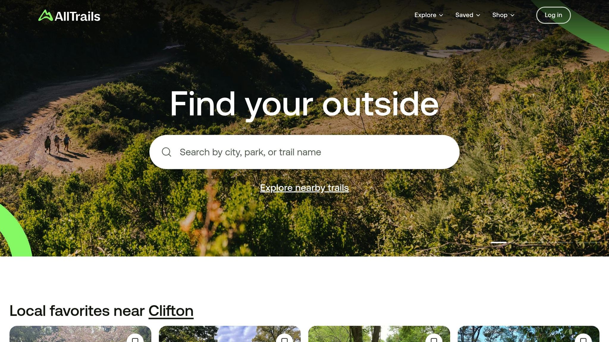
AllTrails has made a name for itself as a go-to GPS app for hiking in national parks. With a database of over 400,000 curated trails and more than 50 million downloads, it’s a favorite among outdoor enthusiasts looking for reliable navigation tools.
The app offers an extensive collection of trails, ranging from well-trodden day hikes to demanding backcountry routes. Thanks to user contributions, it provides up-to-date trail conditions, complete with photos, reviews, and real-time updates. Whether you’re tackling Yosemite’s iconic Mist Trail or wandering the quieter paths of the Great Smoky Mountains, you’ll find detailed information like route descriptions and elevation profiles to help you plan. The combination of a robust trail database and active community input makes it a standout choice for hikers.
Trail Coverage and Accuracy
AllTrails stands out for its broad trail coverage, spanning national parks across the U.S. It follows standard U.S. measurement systems and includes both popular spots and off-the-beaten-path trails, thanks to its crowd-sourced data.
The app’s filtering options are particularly useful, allowing you to search trails by difficulty, length, elevation gain, and user ratings. This makes it easy to find a route that fits your fitness level and schedule. However, while popular trails are rich in user-generated content, lesser-known or remote paths may lack the same level of detail. For those needing more technical navigation, this might be a limitation.
Offline Map Access
One of AllTrails’ standout features is its offline map capability, available through the AllTrails+ subscription. This is especially valuable for hikes in areas with poor or no cell service. By downloading trails or regions ahead of time, you can access key details like trail markers, water sources, campsites, and scenic viewpoints even when offline.
The process to download maps is simple: just select your route and hit the download button. This ease of use is a big plus for hikers planning trips in remote locations.
Device Compatibility
AllTrails works seamlessly on both iOS and Android devices, ensuring consistent performance across platforms. Core features like GPS tracking, trail search, and map downloads function reliably no matter your device.
The app also integrates with smartwatches like Apple Watch and Wear OS, offering hands-free navigation and tracking. This is particularly handy for monitoring your hike without constantly pulling out your phone.
Pricing
AllTrails offers a free version with essential features like trail search, reviews, and basic navigation. For those looking for more advanced tools, the AllTrails+ subscription costs $35.99 per year. This unlocks offline maps, wrong-turn alerts, 3D maps, real-time weather and air quality overlays, and advanced route planning features.
With a 4.7/5 rating on the Apple App Store from over 800,000 reviews and 4.5/5 on Google Play from more than 250,000 reviews, AllTrails has proven itself as a dependable companion for exploring national parks.
2. Gaia GPS

Gaia GPS taps into crowd-sourced data from OpenStreetMap and USGS to provide highly detailed maps that uncover hidden trails and natural features. For instance, users have discovered unmarked gems like a waterfall along Caledonia Creek in the Delaware Water Gap through the app’s maps. Its combination of offline capabilities and trail precision makes it a favorite among outdoor enthusiasts.
Trail Coverage and Accuracy
What sets Gaia GPS apart is its extensive trail network, sourced from reliable platforms like OpenStreetMap and USGS. It doesn’t just show popular trails – you’ll also find lesser-known routes, such as old logging roads, which are perfect for seasoned hikers seeking new adventures.
Offline Map Access
One of Gaia GPS’s standout features is its offline functionality. Before heading into areas with limited or no cell service, you can download detailed topographic, satellite, and trail maps. These remain accessible even when you’re completely off the grid, ensuring you always have a reliable guide.
Device Compatibility
Gaia GPS works seamlessly on both iOS and Android devices, offering the same robust mapping tools regardless of your platform. From route planning to GPS tracking, the app ensures a smooth experience whether you’re hiking solo or coordinating with a group.
Pricing
The app offers a free version with basic maps, but for $39.99 per year, the premium subscription unlocks advanced features. This includes additional map layers, full offline access, and extra navigation tools – perfect for hikers who demand detailed maps for exploring national parks and beyond.
3. Avenza Maps

Avenza Maps stands out by using official, geo-referenced PDF maps. By relying on maps from trusted sources like the National Park Service, it ensures hikers have reliable and accurate trail information when exploring national parks.
Trail Coverage and Accuracy
With Avenza Maps, you can access official park maps for iconic destinations such as Yosemite and the Grand Canyon. These maps are available through the app’s map store, which features thousands of hiking areas across North America. What sets these maps apart is their detail – they include essential information like restroom locations, campgrounds, and ranger stations, making them a dependable companion for your adventures.
Offline Map Access
One of the app’s most practical features is its offline functionality. You can download maps and use them in areas without cell service or while in airplane mode. On these downloaded maps, you can pin specific locations, measure distances, and even record your tracks. For added safety, the app also allows real-time location sharing, so friends or family can keep tabs on your position during remote hikes.
Device Compatibility
Avenza Maps works seamlessly on both iOS and Android devices, offering a consistent experience no matter which smartphone platform you prefer.
Pricing
The app itself is free to download, but many of the high-quality maps are priced between $0 and $15, depending on the publisher and level of detail. However, the free version does limit you to importing just three maps, which might be restrictive for frequent users. For those who need more flexibility, the Avenza Maps Pro subscription costs $29.99 per year per device. This plan removes the map import limit and unlocks additional features like enhanced offline support and turn-by-turn navigation.
sbb-itb-00512f3
4. FarOut Guides (formerly Guthook)

FarOut Guides, previously known as Guthook, stands out for its ability to map major U.S. trails while offering real-time, crowd-sourced updates on essential features like water sources, campsites, junctions, and nearby town services. Let’s dive into how this app provides hikers with accurate and reliable trail information.
Trail Coverage and Accuracy
FarOut Guides specializes in covering well-known long-distance trails and popular park routes. It offers detailed, real-time updates from users about trail conditions, closures, and potential hazards. The app also includes elevation profiles and customizable filters for waypoints, allowing you to pinpoint water sources, campsites, or nearby towns based on what you need. However, keep in mind that its trail database is limited to officially mapped routes, so lesser-known or unofficial trails might not be available.
Offline Map Access
One of the standout features of FarOut Guides is its offline map functionality. You can download maps to use without an internet connection, which is crucial for remote areas. That said, the offline maps only cover a narrow corridor of 1–3 miles along the GPS track. If you plan to explore off-trail areas extensively, many seasoned hikers recommend pairing FarOut with another mapping app for broader coverage.
Device Compatibility
FarOut Guides works seamlessly on both iOS and Android devices, ensuring that most hikers in the U.S. can access its features, regardless of their smartphone preference.
Pricing
FarOut Guides operates on a pay-per-trail model, with individual guides priced between $4.99 and $59.99. For example, the Pacific Crest Trail guide costs $34.99. All prices are listed in U.S. dollars, and there are no recurring subscription fees, making it a one-time purchase for each guide you need.
5. MapOut
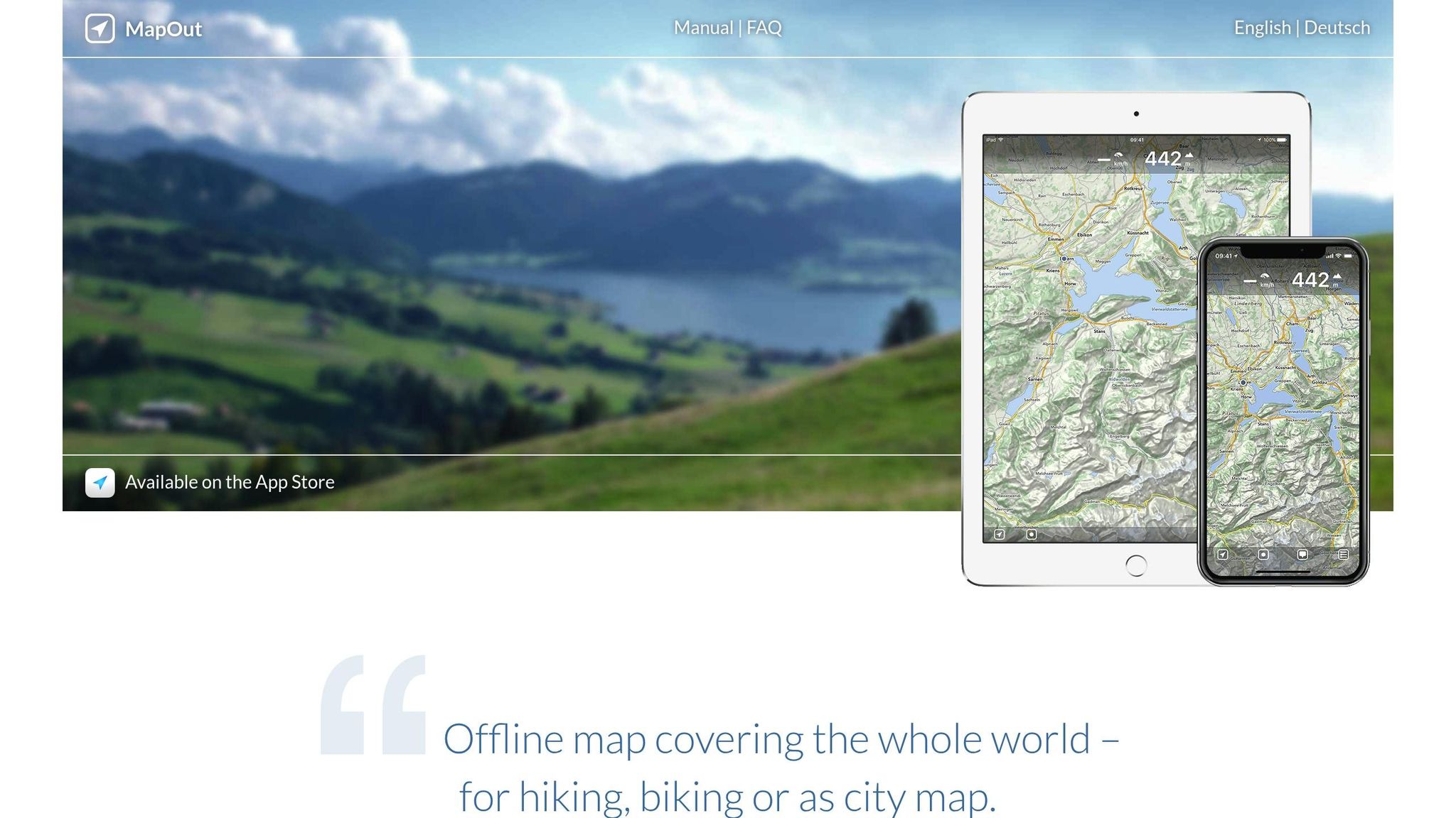
MapOut delivers GPS navigation essentials through a straightforward, one-time purchase model. Designed exclusively for iOS users, it focuses on providing core mapping tools at an affordable price, making it a standout option compared to subscription-based alternatives.
Device Compatibility
MapOut is available only for iOS devices, including iPhones and iPads. Unfortunately, Android users are left out, which could be a drawback for hiking groups using mixed devices. If that’s the case, you might need to explore other apps that cater to both platforms. Now, let’s look at how MapOut handles trail data and route planning.
Trail Coverage and Accuracy
MapOut takes a different approach to trail navigation by relying on user-imported GPS tracks and waypoints instead of offering a large pre-curated trail database. This means you’ll need to source or create your own GPX files. Trusted resources like The National Park Guide can be a great place to find quality GPX files if you prefer pre-planned routes.
The app has been tested on challenging trails such as the Grand Enchantment Trail and the Desert Winter Thru-Hike, proving its reliability for both well-known and lesser-explored paths. Its tracing tool is handy for measuring distances and elevation changes, but the app does fall short when zoomed out, offering less detailed topographic information, which might make assessing terrain complexity a bit trickier.
Offline Map Access
One of MapOut’s highlights is its offline functionality. You can download fixed-size map tiles in advance, ensuring you’re prepared for areas with no cell service. This feature is particularly useful for remote adventures in national parks. However, because the map tiles are fixed in size, careful planning is needed to ensure you cover your entire route.
Pricing
MapOut’s simplicity comes with a price tag that’s hard to beat. It operates on a one-time purchase model, costing just $4.99 on the App Store as of 2025. Compared to subscription-based GPS apps that can cost $30–60 per year, this pricing makes it an appealing choice for hikers looking to avoid ongoing fees. For budget-conscious adventurers, it offers great long-term value without compromising on basic functionality.
App Feature Comparison
Here’s a side-by-side look at the key features of popular hiking apps:
| App | Offline Maps | Trail Coverage | Pricing (USD) | Device Compatibility | Unique Features |
|---|---|---|---|---|---|
| AllTrails | Yes (Pro) | Extensive, curated database | Free / $35.99 per year | iOS, Android | User reviews, photos, and a beginner-friendly interface |
| Gaia GPS | Yes (Premium) | Extensive with detailed topographic data | Free / $39.99 per year | iOS, Android | Advanced map layering, OpenStreetMap integration, custom route planning |
| Avenza Maps | Yes (per map) | Varies based on downloaded maps | Free app, $4.99–$14.99 per map | iOS, Android | Official park maps and PDF map import capability |
| FarOut Guides | Yes (per trail) | Long-distance and thru-hiking trails | Free app, $7.99–$59.99 per trail | iOS, Android | Real-time water updates and crowd-sourced trail conditions |
| MapOut | Yes | User-imported GPX tracks | $4.99 one-time | iOS only | One-time purchase, intuitive tracing tools, and fixed-size tile downloads |
Each app has a distinct pricing model, ranging from subscriptions to one-time fees, providing flexibility for hikers. For example, AllTrails and Gaia GPS allow full offline downloads with premium subscriptions, while Avenza Maps and FarOut Guides require individual map or trail purchases. MapOut, on the other hand, offers complete offline functionality with a one-time fee, though it requires careful planning using fixed-size tiles.
When choosing the right app, consider your hiking style and trail preferences. For popular routes, AllTrails shines with community reviews and photos. If you’re venturing into unmarked areas, Gaia GPS reveals hidden features like waterfalls using OpenStreetMap data. Avenza Maps is perfect for official National Park Service maps, and FarOut Guides is a must for long-distance hikers needing real-time updates on water sources. Meanwhile, MapOut appeals to those who prefer one-time purchases and intuitive tools for route planning.
Use this comparison to find the app that aligns with your hiking goals and ensures a safe, well-planned adventure.
Conclusion
Having the right GPS app can make the difference between a smooth, enjoyable adventure and a stressful, uncertain trek in America’s national parks. With more than 400 parks scattered across the U.S. – many with little to no cell coverage – offline navigation is a must-have for any outdoor enthusiast.
Consider your needs before choosing an app: AllTrails offers access to over 400,000 curated trails, making it ideal for beginners. Gaia GPS excels with detailed topographic maps for those venturing off the beaten path. MapOut provides an affordable, one-time purchase option for iPhone users at just $4.99. And for thru-hikers, FarOut Guides stands out with real-time updates on water sources and other critical resources.
Experienced hikers often combine apps to cover all bases – using AllTrails for planning and Gaia GPS for on-the-ground navigation. No matter which app you go with, make sure to download maps ahead of time and test the app on a shorter hike to get comfortable with its features. This small step can save you from headaches later.
A good GPS app isn’t just about finding your way – it’s about unlocking the full potential of your adventure. Take time to assess your hiking style, prioritize the features you’ll use most, and always carry a backup plan. With thoughtful preparation and the right tools at your fingertips, you’ll be ready to explore the beauty of our national parks safely and confidently.
Looking for more ways to elevate your outdoor experiences? Check out The National Park Guide for expert tips and advice to help you make the most of your adventures.
FAQs
How do AllTrails and Gaia GPS compare for hiking in national parks?
Both AllTrails and Gaia GPS are well-loved GPS apps for hiking, but they serve slightly different purposes depending on your needs.
AllTrails shines with its easy-to-use interface and a wealth of crowd-sourced trail reviews. It’s perfect for casual hikers who want to explore trails with confidence. With features like detailed trail maps, difficulty ratings, and offline map access (available through a subscription), it’s a go-to app for discovering and planning hikes.
On the other hand, Gaia GPS is tailored for seasoned hikers and outdoor enthusiasts seeking advanced tools. It offers highly detailed topographic maps, custom route planning, and powerful offline capabilities, making it an excellent choice for tackling remote trails in national parks or other rugged areas. If you need precision navigation and customization, Gaia GPS delivers, while AllTrails is ideal for finding new trails and reading user reviews.
How can I make sure my GPS app works without cell service while hiking in national parks?
Before heading out on a hike, make sure your GPS app is ready to guide you even in areas without cell service. The best way to do this? Download the maps you’ll need for offline use ahead of time. Most hiking GPS apps include an offline mode, giving you access to trail maps and navigation tools without needing an internet connection.
Also, double-check that your device’s location services are turned on. And don’t forget to pack a portable charger – keeping your phone powered is crucial, especially on longer hikes. With these steps, you’ll have a reliable navigation tool, even in the most remote parts of the trail.
Should I use more than one GPS app for hiking in national parks, and which apps work well together?
Using multiple GPS apps for hiking can be a smart move, especially if you want to tap into different features that each app offers. For instance, one app might provide detailed offline maps, while another excels at real-time navigation or includes specialized trail guides for specific parks. By combining these tools, you can improve your hiking experience and feel more prepared on the trail.
A good strategy is to pair an app with strong offline capabilities, like Gaia GPS, with one that offers live updates or crowd-sourced trail reviews, such as AllTrails. This combination ensures you’ll have dependable navigation even in remote areas, along with up-to-date tips and insights shared by fellow hikers.