
America’s national parks offer some of the most breathtaking drives you’ll ever experience. From alpine roads to desert landscapes, these routes allow you to enjoy stunning views, wildlife sightings, and geological wonders – all from the comfort of your car. Here’s a quick overview of the top 10 scenic drives and what makes each one special:
- Going-to-the-Sun Road (Glacier National Park, MT): A 50-mile engineering marvel with highlights like Logan Pass and Jackson Glacier Overlook. Seasonal closures due to snow.
- Yosemite Valley Drive (Yosemite National Park, CA): A 13-mile loop featuring Tunnel View, El Capitan, and Yosemite Falls. Open year-round, but tire chains may be needed in winter.
- Zion-Mount Carmel Highway & Scenic Drive (Zion National Park, UT): Famous for red rock formations and the Zion-Mount Carmel Tunnel. Shuttle-only access in peak months.
- Trail Ridge Road (Rocky Mountain National Park, CO): The highest continuous paved road in the U.S., offering alpine tundra views. Open late May to mid-October.
- Rim Drive (Crater Lake National Park, OR): A 33-mile loop around the caldera of the deepest lake in the U.S. Open July–October, depending on snow.
- Park Loop Road (Acadia National Park, ME): A 27-mile route with stops like Cadillac Mountain and Jordan Pond. Timed entry required for Cadillac Summit.
- Arches Scenic Drive (Arches National Park, UT): A 20-mile road showcasing over 2,000 natural arches. Timed entry required April–October.
- Island Loop (Grand Teton National Park, WY): A 42-mile drive with iconic stops like Mormon Row and Schwabacher Landing. Inner Park Road closes in winter.
- Cathedral Valley Loop (Capitol Reef National Park, UT): A remote 58-mile loop featuring Temples of the Sun and Moon. High-clearance 4WD required.
- White Rim Road (Canyonlands National Park, UT): A challenging 100-mile off-road loop with dramatic canyon views. Requires a permit and 4WD.
Quick Tip: Many routes have seasonal closures, vehicle restrictions, or require permits. Always check conditions and plan ahead for a safe and enjoyable trip. For frequent park visitors, the $80 America the Beautiful Pass offers annual access to all U.S. national parks and over 2,000 federal recreation sites.
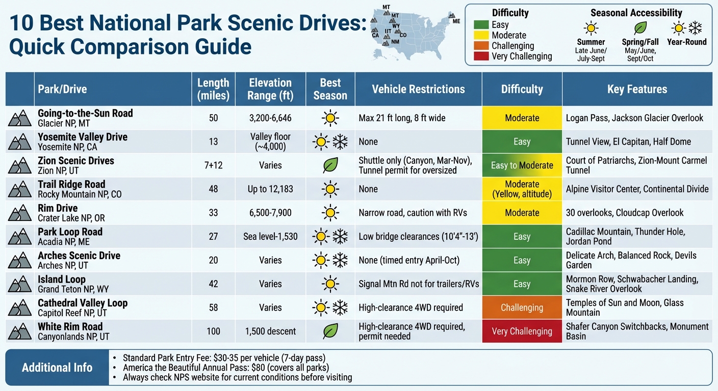
10 Best National Park Scenic Drives: Quick Comparison Guide
1. Going-to-the-Sun Road in Glacier National Park, Montana
Scenic Beauty and Iconic Views
Spanning 50 miles from West Glacier to St. Mary, the Going-to-the-Sun Road is a masterpiece of engineering and natural beauty. Rising from approximately 3,200 feet at Apgar Village to 6,646 feet at Logan Pass, this route is a National Historic Landmark and a marvel of civil engineering, built between 1921 and 1932. Along the way, you’ll encounter breathtaking sights like the Wild Goose Island Overlook – a tiny island set against the dramatic backdrop of the Continental Divide in St. Mary Lake, often considered the park’s most photographed spot. On the west side, Lake McDonald stretches for 10 miles, with its crystal-clear waters and colorful pebble beaches, making it a standout destination.
The road constantly surprises with its dramatic landscapes. The Loop, a sharp hairpin turn, offers views of the towering 9,000-foot Heavens Peak, while the Weeping Wall enchants with waterfalls spilling directly onto the road, especially in early summer. Big Bend, a sweeping U-shaped curve, provides panoramic views of Mount Oberlin, Cannon Mountain, and Heavens Peak, making it a favorite spot for sunset watchers. On the eastern side, the Jackson Glacier Overlook is the only roadside stop where you can see a glacier. Once spanning 1,875 acres, Jackson Glacier has now diminished to under 250 acres.
Before embarking on this unforgettable drive, it’s important to understand the road’s specific conditions and requirements to ensure a safe and enjoyable trip.
Accessibility and Road Conditions
Driving the Going-to-the-Sun Road comes with a few important guidelines. Vehicles longer than 21 feet or wider than 8 feet are restricted, and speed limits range from 45 mph in lower elevations to 25 mph in alpine areas. There are no gas stations along the route, so make sure to fill up in West Glacier or St. Mary before starting your journey. Cell service is unreliable, so downloading maps and reservation details in advance is a smart move.
For summer visits (June through September), you’ll need a West Entrance reservation or can opt for the free Glacier National Park Shuttle System, which operates from July 1 to Labor Day. Driving from west to east offers easier access to scenic pullouts, while parking at Logan Pass – one of the most popular stops – requires planning. Arrive early (before 8:00 AM) or later in the day (after 4:30 PM) to secure a spot.
Key Stops and Attractions Along the Route
The road is dotted with incredible stops that enhance the experience of Glacier National Park’s natural splendor. Logan Pass, perched at 6,646 feet on the Continental Divide, is a hub for alpine scenery and wildlife. Mountain goats and bighorn sheep are often seen here. From Logan Pass, the Hidden Lake Overlook trail offers a 1.4-mile hike with stunning views of Hidden Lake, framed by the striking Bearhat Mountain.
Closer to the Avalanche Picnic Area, the Trail of the Cedars provides a serene 0.7-mile boardwalk through ancient cedar trees. For waterfall lovers, St. Mary Falls is a must-see. This multi-tiered, 35-foot cascade of glacial blue water is accessible via a short 0.8- to 1.2-mile trail. Another quick but rewarding stop is Sunrift Gorge, just a 200-foot walk from the roadside.
Seasonal Considerations
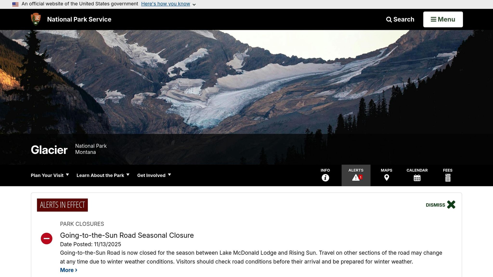
The full stretch of the road is typically open from late June or early July through late September or early October, depending on snow conditions. Spring snow at the "Big Drift" near Logan Pass can pile up to 40 feet, and in some years, it has reached an astonishing 70 feet. Crews often spend over 10 weeks clearing the road for summer visitors. While the section between Apgar and Lake McDonald Lodge remains open year-round, the alpine portions close during winter due to severe weather. As of November 13, 2025, the road is seasonally closed between Lake McDonald Lodge and Rising Sun.
Weather can vary widely along the route. The higher elevations at Logan Pass are much cooler than the lower areas, so dressing in layers is essential. Summer days here are long, with sunsets around 9:30 PM and full darkness settling in by 10:30 PM. Always check the official Glacier National Park Road Status page before heading out, as sudden weather changes can lead to temporary closures. For a unique experience, visit in spring when parts of the road are open to hikers and bikers before vehicles are allowed. A 7-day vehicle pass is available for $35.
2. Yosemite Valley Drive in Yosemite National Park, California
Scenic Beauty and Iconic Views
This 13-mile loop showcases some of Yosemite’s most famous landmarks, including its towering granite cliffs and stunning waterfalls. A must-see stop along the way is Tunnel View, located at the eastern end of the 4,233-foot Wawona Tunnel. From here, you’ll get a breathtaking panoramic view of El Capitan, Half Dome, and Bridalveil Fall [17, 22]. It’s no surprise that this spot draws between 5,000 and 7,000 visitors daily during the busy season. As the National Park Service describes it:
The Tunnel View overlook has captured the awe of visitors for nearly 75 years. This historic view has been an iconic part of Yosemite National Park’s viewshed.
For a closer look at Yosemite’s grandeur, head to El Capitan Meadow, where you can use binoculars to spot climbers scaling the imposing 3,000-foot granite face. At Sentinel Bridge, visitors often gather to photograph the reflection of Half Dome during sunrise or sunset. Another favorite is Cook’s Meadow, which offers a sweeping vantage point of Yosemite Falls – North America’s tallest waterfall at 2,425 feet – and Half Dome. Nearby, Bridalveil Fall, with its dramatic 620-foot drop, frequently creates rainbows in the mist, adding a magical touch to a short walk from the parking area.
The route is well-maintained and accessible throughout the year, making it a reliable way to experience Yosemite’s natural wonders.
Accessibility and Road Conditions
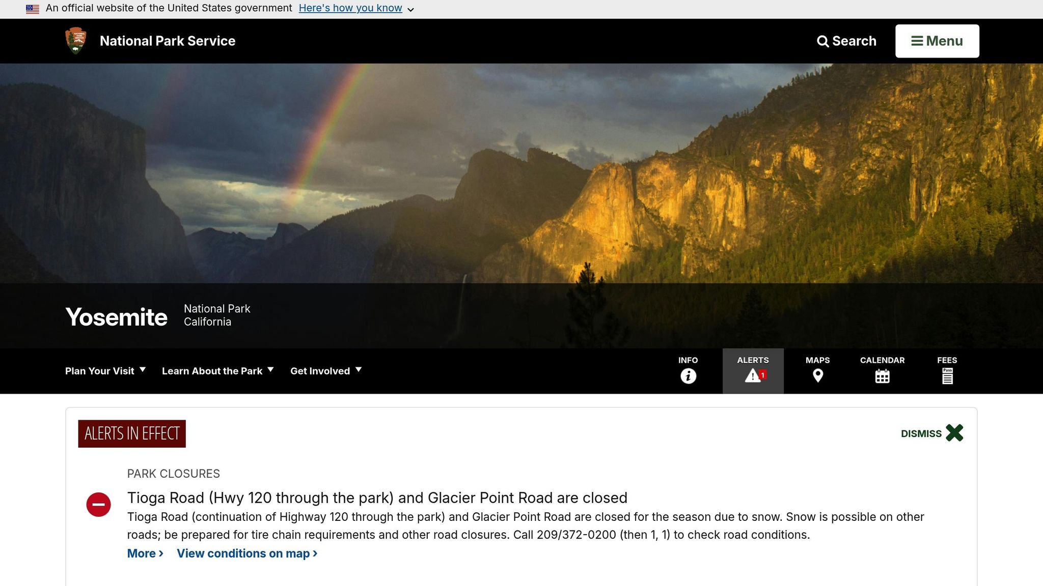
Unlike higher-elevation routes like Tioga Road or Glacier Point Road, which typically close from November to late spring [18, 25, 27], the roads in Yosemite Valley remain open year-round. However, winter travelers should carry tire chains, as they may be required from November through March – or even as early as September or as late as May, depending on weather conditions [26, 27]. For the most reliable winter access, Highway 140 (El Portal Road) is your best bet. It follows the Merced River at lower elevations, peaking at 4,000 feet, and is less likely to require chains than Highways 41 or 120, which climb to about 6,000 feet.
During the summer, avoid traffic by taking advantage of the free Yosemite Valley Shuttle. Alternatively, explore the valley floor by bike – it’s a 7-mile ride that lets you bypass the congestion altogether. Keep in mind that there are no gas stations in Yosemite Valley, so plan to refuel in Wawona, Crane Flat, or El Portal before entering. Standard vehicle pass options apply throughout the park.
Key Stops and Attractions Along the Route
Beyond the iconic viewpoints, Yosemite Valley Drive offers several other highlights. Valley View, located along Northside Drive, provides a picturesque perspective of the valley floor, with the Merced River beautifully framed by El Capitan and Cathedral Rocks. For a touch of history, visit the Yosemite Valley Chapel, built in 1879 and the oldest structure in the valley. Another standout is Sentinel Fall, one of the park’s tallest waterfalls, with a dramatic 2,000-foot drop.
To make the most of your visit, plan to arrive before 9:00 AM during peak seasons to secure parking at popular trailheads. If you’re stopping at El Capitan Meadow, bring binoculars to watch climbers in action. For photographers, the "golden hour" at sunrise or sunset is the perfect time to capture stunning views from Sentinel Bridge or Tunnel View.
Seasonal Considerations
Each season brings a unique charm to Yosemite. Spring and early summer (May through June) are ideal for viewing the waterfalls at their most powerful, thanks to peak snowmelt. In late February, if conditions align, you might witness the awe-inspiring Firefall at Horsetail Fall, where the setting sun creates the illusion of glowing molten lava. Before heading out, always check current road conditions by calling 209/372-0200 (press 1, then 1) [25, 27]. Be aware of delays on El Capitan Bridge due to repairs, which are expected to continue on weekday mornings and afternoons through March 2026.
3. Zion-Mount Carmel Highway and Zion Canyon Scenic Drive in Zion National Park, Utah
Scenic Beauty and Iconic Views
Zion National Park boasts two unforgettable drives: the 7-mile Zion Canyon Scenic Drive, which meanders alongside the Virgin River, and the 12-mile Zion-Mount Carmel Highway, famous for its steep switchbacks, striking red asphalt, and high-elevation slickrock terrain.
Some standout spots include the Canyon Junction Bridge, offering a picture-perfect view of The Watchman towering above the Virgin River, and the Court of the Patriarchs, where three massive sandstone peaks – Abraham, Isaac, and Jacob – dominate the landscape. On the Zion-Mount Carmel Highway, Checkerboard Mesa grabs attention with its unique, crosshatched patterns etched into white sandstone. Don’t miss the Zion-Mount Carmel Tunnel, a historic engineering marvel completed in 1930. Stretching 5,613 feet, it was once the longest tunnel of its kind in the U.S. Its gallery windows provide fleeting but breathtaking glimpses of the canyon, nearly 800 feet below.
Now that you’ve got a sense of the scenery, let’s talk logistics for planning your trip.
Accessibility and Road Conditions
From March to November, private vehicles aren’t allowed on the Zion Canyon Scenic Drive. Instead, visitors must hop on the free park shuttle, which runs every 5 to 10 minutes. During the winter months, you can drive your own car along this route. The Zion-Mount Carmel Highway, however, remains open to private vehicles year-round, though temporary closures may occur if snow or ice makes conditions unsafe. Entrance fees to the park are $35 per vehicle, covering a 7-day pass.
If your vehicle is over 7’10" wide or 11’4" tall, you’ll need to purchase a $15 tunnel permit, which includes a ranger escort through the tunnel. Starting June 7, 2026, oversized vehicles will no longer be allowed on the Zion-Mount Carmel Highway and will be rerouted. To beat the crowds, arrive at the Visitor Center before 9:00 AM, or park in nearby Springdale and take the town shuttle to the park entrance.
With logistics in mind, let’s dive into some of the must-see stops along these scenic routes.
Key Stops and Attractions Along the Route
On the Zion Canyon Scenic Drive, the Temple of Sinawava, the final shuttle stop, serves as the starting point for The Narrows, a famous slot canyon hike. Big Bend offers panoramic views of iconic formations like the Great White Throne and the Organ, while The Grotto is the trailhead for the challenging but rewarding Angels Landing hike.
Over on the Zion-Mount Carmel Highway, just east of the tunnel, the Canyon Overlook Trail is a must. This 1-mile round-trip hike leads you to a perch above the Great Arch, where you’ll be treated to sweeping views of lower Zion Canyon.
Seasonal Considerations
Flash floods pose a serious risk in Zion’s narrow canyons and washes, especially during or after storms. Always check the weather forecast at the Visitor Center before venturing out. During peak season (February through November), parking lots fill up fast – often by early morning – especially on holiday weekends like Memorial Day, Independence Day, and Labor Day.
Autumn is particularly stunning, with vibrant yellow and orange foliage lighting up the Mount Carmel Highway. In winter, when shuttles aren’t running, Zion Canyon Scenic Drive may close temporarily if all parking spaces are occupied. Plan ahead to make the most of your visit!
4. Trail Ridge Road in Rocky Mountain National Park, Colorado
Scenic Beauty and Iconic Views
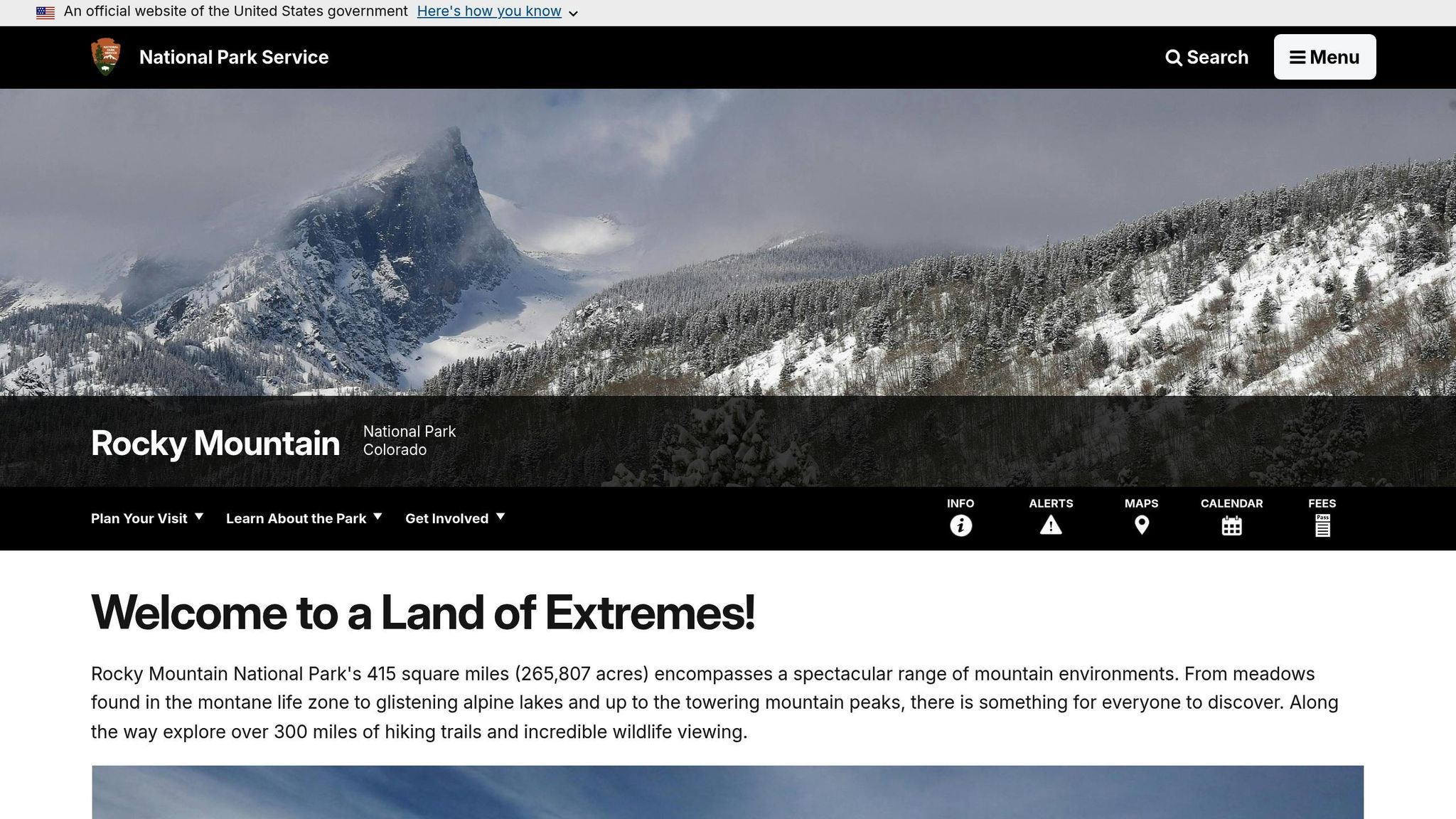
Trail Ridge Road holds the title of the highest continuous paved road in the U.S., soaring to an impressive 12,183 feet. Spanning 48 miles between Estes Park and Grand Lake, this drive offers jaw-dropping alpine scenery. About 11 miles of the road stretch above the treeline, cutting through a unique alpine tundra landscape. Here, you’ll find jagged peaks, exposed rock, and delicate plant life, creating a stark, almost otherworldly atmosphere.
Key stops along the way include Many Parks Curve (9,691 ft), where you’ll be treated to panoramic views of Longs Peak and Horseshoe Park, and Rainbow Curve (10,875 ft), which marks the tree line with stunning vistas. At Forest Canyon Overlook, a short 0.2-mile walk rewards you with views of a 2,000-foot-deep glacial valley and the Continental Divide peaks. Don’t miss Lava Cliffs Overlook (12,080 ft), where ancient glaciers have exposed volcanic rock that’s over 28 million years old.
Accessibility and Road Conditions
Driving Trail Ridge Road requires planning, as it’s a seasonal route. The road typically opens in late May after about 40 days of plowing and closes by mid-October, though late snowstorms can delay its reopening. During the winter months, the section from Many Parks Curve on the east side to the Colorado River Trailhead on the west side remains closed.
From late May to mid-October, visitors must secure a timed entry reservation for access between 9:00 AM and 2:00 PM. Reservations come with a $2 processing fee through Recreation.gov. Additionally, the standard entrance fee is $30 per vehicle for a 1-day pass or $35 for a 7-day pass. The drive itself takes about 1.5 to 2 hours one way, depending on traffic. Be prepared for steep drop-offs and sharp switchbacks, and always check road conditions by calling 586-1222 before heading out.
Key Stops and Attractions Along the Route
Trail Ridge Road is packed with must-see stops. The Alpine Visitor Center (11,796 ft) is the highest visitor center in the National Park System. It features a cafe, gift shop, and access to the Alpine Ridge Trail. At Rock Cut (12,110 ft), you can explore the Tundra Communities Trail, a 1.1-mile round-trip hike through fragile alpine tundra – stick to the paths to protect the ecosystem. Milner Pass (10,759 ft) marks the Continental Divide, the point where water flows toward either the Atlantic or Pacific Oceans. Farther along, the Holzwarth Historic Site offers a glimpse into the past with a 1917-era ranch and the humble beginnings of the Colorado River, which starts here as a small stream.
Seasonal Considerations
Trail Ridge Road isn’t just about the views – it also tests drivers with its unpredictable weather. Temperatures at the summit can drop 20 to 30 degrees Fahrenheit compared to Estes Park or Grand Lake, so bring warm layers and windbreakers, even during summer. Afternoon thunderstorms are common and pose a lightning risk above the treeline, so plan to descend before storms develop. To avoid altitude sickness, drink plenty of water – at least 2 liters per person is recommended. Keep in mind that the Colorado Vehicle Traction Law may be enforced at any time, requiring tires with a minimum of 3/16" tread or approved chains for safe travel.
5. Rim Drive in Crater Lake National Park, Oregon
Scenic Beauty and Iconic Views
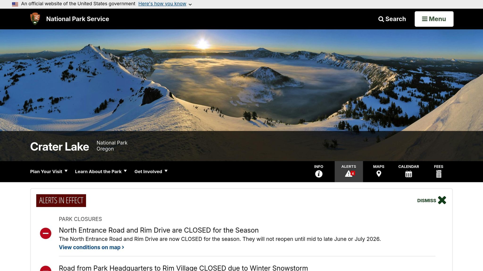
Rim Drive is a 33-mile loop that circles the breathtaking Crater Lake caldera, offering 30 overlooks of the deepest lake in the United States. The road climbs from an elevation of 6,500 feet to nearly 7,900 feet at its highest point, Cloudcap Overlook, where you’ll find stunning, unobstructed views of the lake’s vivid blue waters. Designed by the National Park Service with a "designing with nature" approach, the road seamlessly integrates into the surrounding landscape, making it a marvel of both engineering and aesthetics.
One of the most popular stops is the Watchman Overlook on the west rim, where you’ll get a close look at Wizard Island and its volcanic crater. Over on the east rim, the Phantom Ship Overlook provides a view of a jagged, ship-like island that seems to float mysteriously on the water. For a different angle, head to Sun Notch, a glacial valley that perfectly frames the Phantom Ship against the lake’s turquoise surface. And don’t miss Vidae Falls, a picturesque 100-foot tiered waterfall visible right from the roadside on the south rim. If you’re up for a short detour, the 6-mile Pinnacles Road takes you to striking orange volcanic spires formed from ancient eruptions.
Accessibility and Road Conditions
While the views are unforgettable, navigating Rim Drive comes with its own set of challenges. The full loop is typically open from July through October, though exact dates depend on snowfall. As of January 5, 2026, Rim Drive is closed for the winter season and is expected to reopen in mid-to-late June or July 2026. Crater Lake National Park sees an average of 41 feet of snow annually, sometimes exceeding 52 feet. The reopening process is gradual, with the West Rim Drive and North Entrance Road typically opening first in June, followed by the East Rim Drive in July.
The road itself is narrow and winding, with no shoulders, and the speed limit is capped at 35 mph or less. Cyclists also share the road, so drivers need to stay alert. If you’re driving an RV or towing a trailer, plan for extra time and be cautious on the tight curves. Completing the loop takes at least two hours, but you’ll want to allow more time to stop for photos or explore hiking trails. Most overlooks are wheelchair accessible, making it easier for everyone to enjoy the views. Before heading out, check the park’s "Current Conditions" page, as rockfalls or lingering snow can cause unexpected closures even in the summer.
Key Stops and Attractions Along the Route
Rim Drive is packed with must-see stops that showcase the area’s dramatic beauty. Cleetwood Cove, located on the north rim, is the only place where you can hike down to the lake shore. It’s also the departure point for boat tours. On the west rim, Discovery Point marks the spot where settlers first laid eyes on the lake in 1853. At Cloudcap, the highest point accessible by car at 7,900 feet, you’ll be treated to sweeping views of the entire caldera. Over on the east rim, Pumice Castle stands out with its striking orange volcanic formations that contrast beautifully with the lake’s deep blue waters.
The park charges an entrance fee of $30 per vehicle during the summer, while the fee drops to $15 in non-summer months when Rim Drive is closed. If you’d rather not navigate the narrow roads yourself, the Crater Lake Trolley offers guided tours departing from Rim Village. Be sure to bring plenty of fuel and supplies, as there are no service stations along the 33-mile route. To beat the crowds and secure parking at popular spots like Cleetwood Cove, consider starting your drive early in the morning. These highlights make Rim Drive an unforgettable experience for anyone visiting Crater Lake National Park.
6. Park Loop Road in Acadia National Park, Maine
Scenic Beauty and Iconic Views
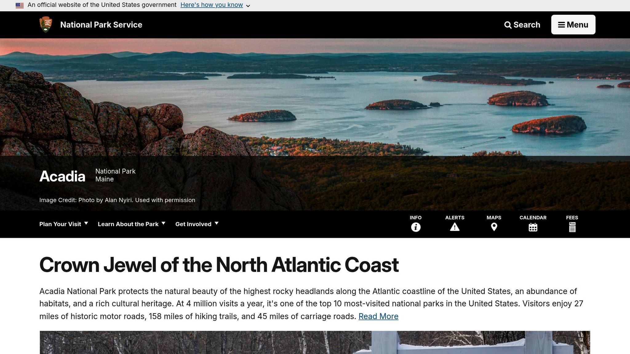
Park Loop Road offers a 27-mile drive through some of Maine’s most breathtaking landscapes. You’ll pass through lush forests, glacial lakes, and along the rugged Maine coastline. The highlight of the route is Cadillac Mountain, standing at 1,530 feet, the tallest point on the U.S. Atlantic coast. From the summit, you’re treated to panoramic views of the Atlantic Ocean, Frenchman Bay, and nearby islands. Another standout is Otter Cliff, towering at 110 feet, one of the highest coastal headlands in North America. The pink granite cliffs against the deep blue sea are especially striking during golden hour.
Jordan Pond is another crowd favorite, with its crystal-clear glacial waters reflecting the North and South Bubble Mountains. And don’t miss Thunder Hole, where waves crashing into a narrow rock inlet create a booming sound that resonates off the cliffs – visit 1 to 2 hours before high tide for the most dramatic effect. If sandy shores are more your style, Sand Beach offers a 290-yard stretch of sand nestled between rocky headlands, though the water rarely warms above 55°F, even in the summer.
Accessibility and Road Conditions
To access Park Loop Road, there’s a $35 per vehicle fee for a 7-day pass. Most of the road is one-way, with speed limits between 25–35 mph. During the busy season, parking can be a challenge, so consider using the Island Explorer shuttle, which runs fare-free from late June through mid-October. The shuttle is wheelchair-accessible and stops at all major attractions, making it a convenient option for avoiding congestion.
If you plan to drive the Cadillac Summit Road from late May to mid-October, note that you’ll need a separate timed-entry reservation in addition to your park pass. Parking is generally allowed in the right-hand lane unless otherwise posted, but lots at popular stops like Sand Beach and Thunder Hole fill up quickly during peak months. RV drivers should be cautious of low bridge clearances, which range from 10 feet 4 inches at Stanley Brook Entrance to 13 feet at Wildwood Stables.
Key Stops and Attractions Along the Route
Kick off your journey at Sieur de Monts, often called the "Heart of Acadia", where you can explore the Wild Gardens, the Nature Center, and the Abbe Museum. For a relaxing midday break, stop by the Jordan Pond House, renowned for its popovers and tea, served with stunning views of the pond and surrounding mountains. Up for a short hike? Head to Bubble Rock to see a massive glacial erratic perched on the edge of South Bubble Mountain.
For quieter spots, check out Otter Cove, where you can enjoy serene views from the causeway and bridge, or visit Otter Point for dramatic coastal vistas. Cadillac Mountain is also famous as one of the first places in the U.S. to see the sunrise from early October to early March – be sure to book your reservation in advance if you’re planning a sunrise visit. Additionally, the park features 45 miles of gravel carriage roads, built by John D. Rockefeller Jr., perfect for biking or walking.
Seasonal Considerations
Keep in mind that Park Loop Road has seasonal closures. Most of the road, including Cadillac Summit Road, is closed to motor vehicles from December 1 to April 14 each year. The reopening, typically around April 15, depends on weather conditions and may be delayed by snow or ice. However, two sections remain open year-round: a one-to-two-mile stretch from the Sand Beach Entrance Station to Otter Cliff Road (via Schooner Head Road) and the section leading to Jordan Pond via Route 3 and Jordan Pond Road in Seal Harbor.
During the winter months, the road is open to pedestrians, bicyclists, cross-country skiers, snowshoers, and snowmobilers. If you’re exploring in winter, bring a headlamp and traction devices, as icy conditions and rapidly dropping temperatures after sunset can make for challenging outings. For the best mix of pleasant weather and stunning fall foliage, plan your visit for September or early October, when the crowds are thinner than during the summer peak. Always check the National Park Service website for updates, as closures can happen unexpectedly due to weather or other conditions.
7. Arches Scenic Drive in Arches National Park, Utah
Scenic Beauty and Iconic Views
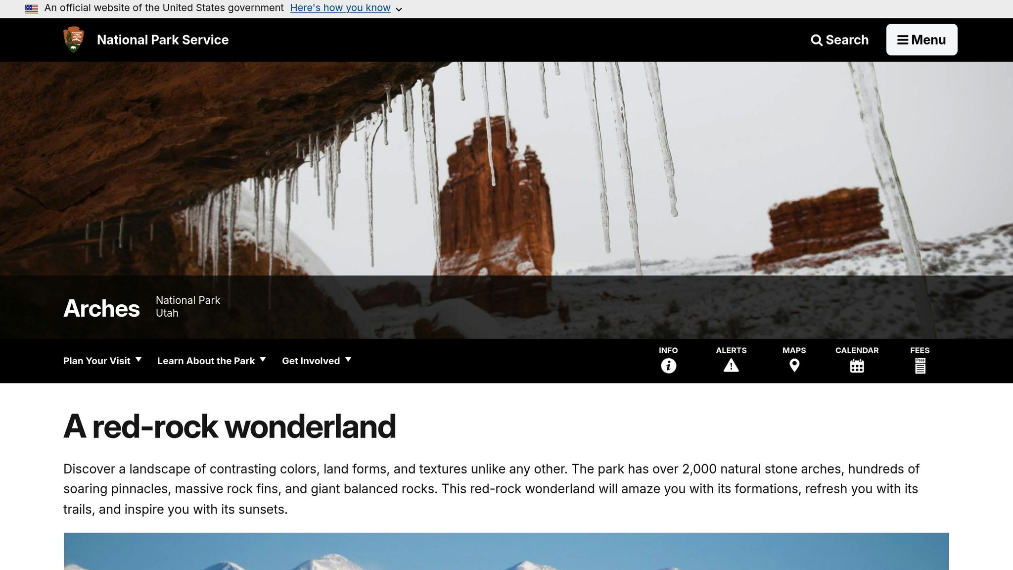
Arches Scenic Drive, a 20-mile stretch of road through Arches National Park, offers a mesmerizing journey through one of the most striking desert landscapes in the country. With over 2,000 natural arches and stunning red sandstone formations, this drive is a must for anyone visiting Utah. Starting at the visitor center, the road climbs steep switchbacks to a high plateau, revealing the park’s dramatic beauty.
Your first major stop is Park Avenue, where towering sandstone walls resemble a natural skyline, complete with formations like the Three Gossips and Tower of Babel. A little further, you’ll encounter Balanced Rock, an awe-inspiring 3,600-ton boulder perched atop a mudstone pedestal, standing an impressive 128 feet tall.
The Windows Section is home to some of the park’s largest arches, including North and South Windows, also known as "The Spectacles", and Double Arch, which spans an incredible 144 feet while reaching heights of 112 to 122 feet. For those who prefer a more relaxed experience, the Delicate Arch Viewpoint offers a distant but rewarding view of the iconic 65-foot freestanding arch, saving you the effort of the 3-mile hike. Don’t miss the Fiery Furnace Overlook, where the sandstone canyons glow a brilliant orange in the late afternoon. At the drive’s end, you’ll find Devils Garden, home to Landscape Arch, the longest arch in North America, stretching an astonishing 306 feet. This route is a visual feast, offering breathtaking views at every turn.
Accessibility and Road Conditions
The drive is fully paved and accessible to standard vehicles, RVs, and trailers, with speed limits ranging between 25 and 45 mph. Entry costs $30 per vehicle for a 7-day pass. If you’re visiting between April and October, a timed-entry reservation is required from 7:00 AM to 4:00 PM, but arriving before 7:00 AM or after 4:00 PM allows you to skip this requirement. Keep in mind that parking at popular spots like Delicate Arch and Devils Garden fills up quickly, often staying full for hours during peak times.
For those with mobility challenges, key viewpoints such as Park Avenue, Balanced Rock, and Lower Delicate Arch offer paved, wheelchair-accessible paths. However, the park lacks gas stations and restaurants, so be sure to fill up in nearby Moab, just 5 miles away, and bring plenty of supplies, including at least one gallon of water per person per day. Vault toilets are available at major stops like Panorama Point, Balanced Rock, and Devils Garden.
Key Stops and Attractions Along the Route
In addition to the main formations, several other stops add to the drive’s charm. The La Sal Mountains Viewpoint, located just 2.4 miles from the visitor center, offers a stunning contrast of snow-capped 12,000-foot peaks against the red desert. Families will enjoy Sand Dune Arch, a shady alcove surrounded by soft sand, accessible via a short 0.3-mile walk. The Petrified Dunes area showcases ancient sand dunes that have turned to stone over millions of years. If you’re into photography, plan to capture the golden hour glow at spots like Park Avenue and Fiery Furnace for unforgettable images.
Seasonal Considerations
The Arches Scenic Drive is open year-round, but seasonal conditions can vary widely. Summers often see temperatures soaring past 100°F, so it’s best to start your visit early in the morning to avoid the heat, beat the crowds, and bypass the timed-entry reservation. In winter, cooler temperatures make exploring more comfortable, but snow and ice can occasionally affect the switchbacks near the entrance. Backcountry roads like Salt Valley Road may require 4WD or become impassable after rain or snow, though the main paved route typically remains clear. Always check the latest conditions before heading out, as desert weather can be unpredictable.
sbb-itb-00512f3
8. Island Loop in Grand Teton National Park, Wyoming
Scenic Beauty and Iconic Views
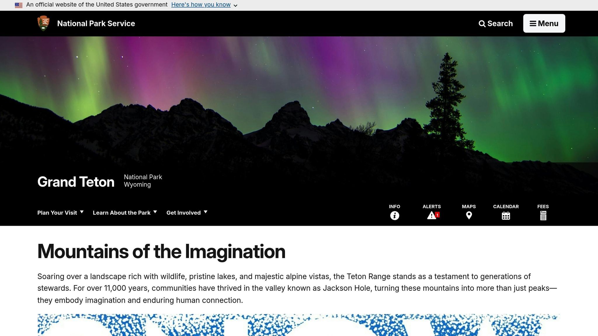
The 42-mile Island Loop in Grand Teton National Park offers a journey through some of Wyoming’s most stunning landscapes. This loop is comprised of two primary roads: the Inner Park Road (Teton Park Road) and the Outer Road (US Highway 26/89/191) [76,77]. Starting at Moose Junction and driving counterclockwise, you’ll first enjoy sweeping vistas along the Outer Road before transitioning to the Inner Park Road, where the towering Teton peaks dominate the scenery [77,79].
A must-see stop along the route is Mormon Row, home to the historic T.A. Moulton and John Moulton barns. These iconic structures, framed by the Tetons, make for unforgettable photos – especially at sunrise when the light is at its best [77,78,80]. Another detour worth taking is the unpaved road to Schwabacher Landing. Here, the Snake River creates stunning mirror-like reflections of the Tetons, offering a serene and picturesque setting [77,79,80]. Just a short distance away, the Snake River Overlook provides the same vantage point where Ansel Adams captured his legendary 1942 photograph [77,78,80]. These stops, filled with photographic potential, make the loop a dream for nature lovers and photographers alike.
Accessibility and Road Conditions
Accessing the Island Loop requires a $35 vehicle entrance fee, which covers seven days of park entry. Many of the loop’s major overlooks feature paved, wheelchair-accessible paths, though some areas, like Schwabacher Landing, have dirt or gravel surfaces [79,81]. If you’re just driving through, the loop takes 1–2 hours. However, to fully experience the 24 turnouts and overlooks, plan for 8–10 hours [77,80]. During the busy summer months, Jenny Lake’s parking lot can reach 90% capacity as early as 8:15 AM, so arriving early is highly recommended.
Some sections of the loop come with unique challenges. For example, Signal Mountain Summit Road climbs 800 feet over 5 miles, offering breathtaking panoramic views. However, its narrow and winding nature makes it unsuitable for trailers and RVs [77,80]. To ensure safety, use designated turnouts for photos and wildlife spotting, and drive cautiously at dawn or dusk when animals are most active.
Seasonal Considerations
Seasonal closures significantly impact access to the loop. The Inner Park Road is closed to vehicles from November 1 through April 30 due to heavy snow, meaning full access to the loop is limited to May 1–October 31 [76,77,78]. The Outer Road, however, remains open year-round, offering access to mountain views even in winter [76,77,78]. If you’re visiting during the open season, starting your drive at dawn is ideal. The rising sun bathes the east-facing Tetons in golden light, and wildlife activity is often at its peak during these early hours [76,77].
For those planning a visit, understanding these seasonal and road conditions is key to making the most of this iconic drive.
9. Cathedral Valley Loop in Capitol Reef National Park, Utah
Scenic Beauty and Iconic Views
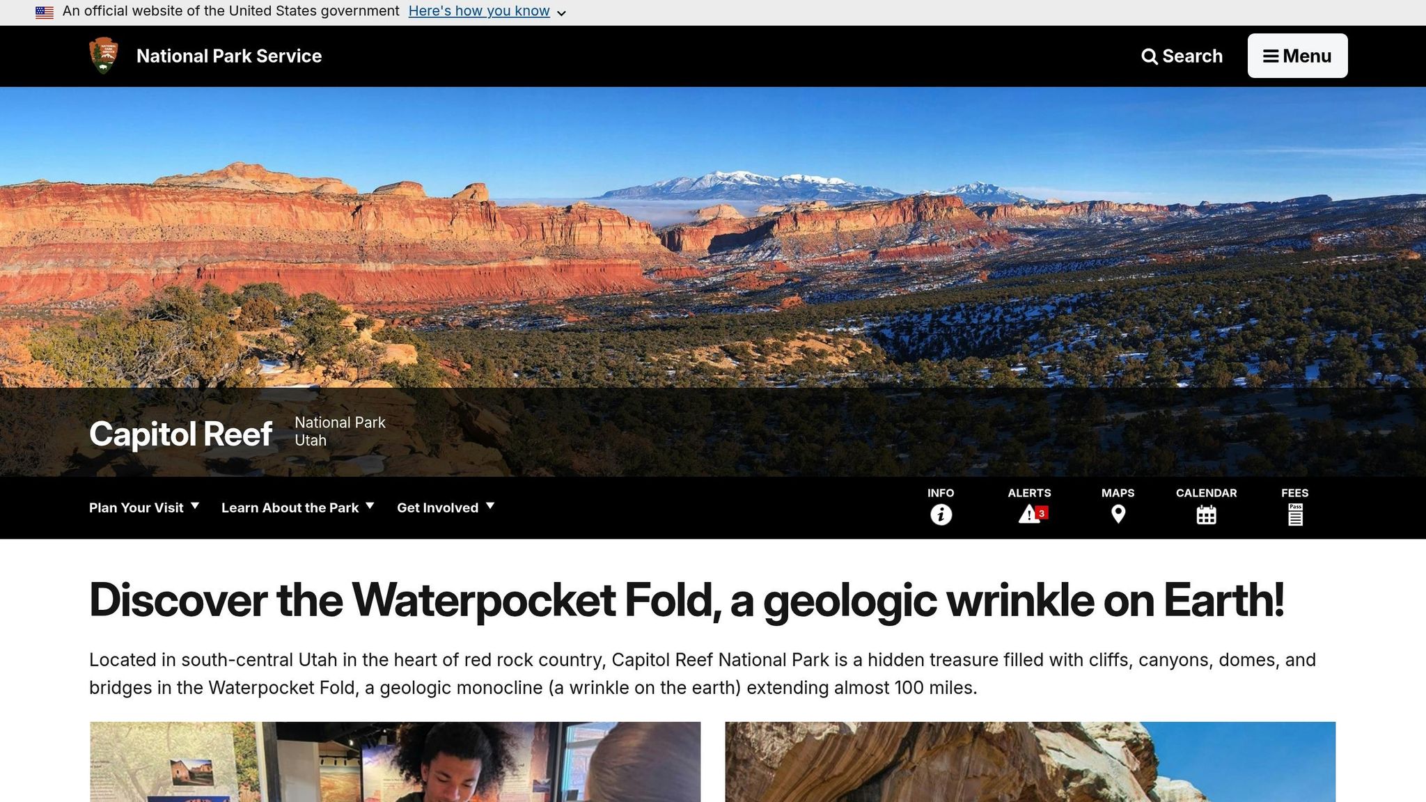
The Cathedral Valley Loop is a stunning 58-mile journey through one of Capitol Reef National Park’s most secluded and dramatic landscapes. Surprisingly, fewer than 1% of park visitors venture into this remote area. Along the way, you’ll encounter the awe-inspiring Temples of the Sun and Moon, two towering Entrada Sandstone monoliths that rise 402 feet and 285 feet above the valley floor. These iconic formations are especially breathtaking at sunrise. Nearby, Glass Mountain, a mound of glittering selenite crystals, adds a touch of natural brilliance to the scene.
The route also takes you past the Bentonite Hills, which feature otherworldly, rounded layers of clay in striking shades of red, purple, and gold. Another standout feature is the Gypsum Sinkhole, a massive 50-foot-wide and 200-foot-deep geological cavity. For panoramic views, the Upper Cathedral Valley Overlook offers a sweeping perspective of the Waterpocket Fold – a 100-mile-long wrinkle in the Earth’s crust – and the towering monoliths that define the valley.
Due to its remote location, this adventure requires careful planning and the right vehicle.
Accessibility and Road Conditions
Tackling the Cathedral Valley Loop demands preparation. A high-clearance, four-wheel drive vehicle is essential to navigate the deep sand, rocky washes, and the Fremont River ford, which can range from 8 to 16 inches deep – or even exceed 20 inches during storms. It’s best to start the loop clockwise at mile marker 91 on Highway 24, allowing you to assess the river crossing early on.
The full loop typically takes 6 to 8 hours to complete. However, conditions can change quickly. When wet, the Bentonite clay becomes dangerously sticky, often trapping vehicles. Before heading out, check the latest road conditions by calling 435-425-3791 (press #1, then #4), as cell service is unavailable in the area and emergency help may take time to arrive.
Seasonal Considerations
For the most comfortable experience, plan your visit during spring (March–May) or fall (September–October). These seasons offer milder weather, avoiding the intense summer heat that can exceed 90°F and the challenges of winter snow. While the route is open year-round, rain can make sections impassable due to flash floods and slick clay.
If you’re staying overnight, the primitive Cathedral Valley Campground provides six free, first-come, first-served sites. Be sure to bring essentials like at least one gallon of water per person per day, extra food, and emergency supplies, as there is no potable water available in the valley.
10. White Rim Road in Canyonlands National Park, Utah
Scenic Beauty and Iconic Views
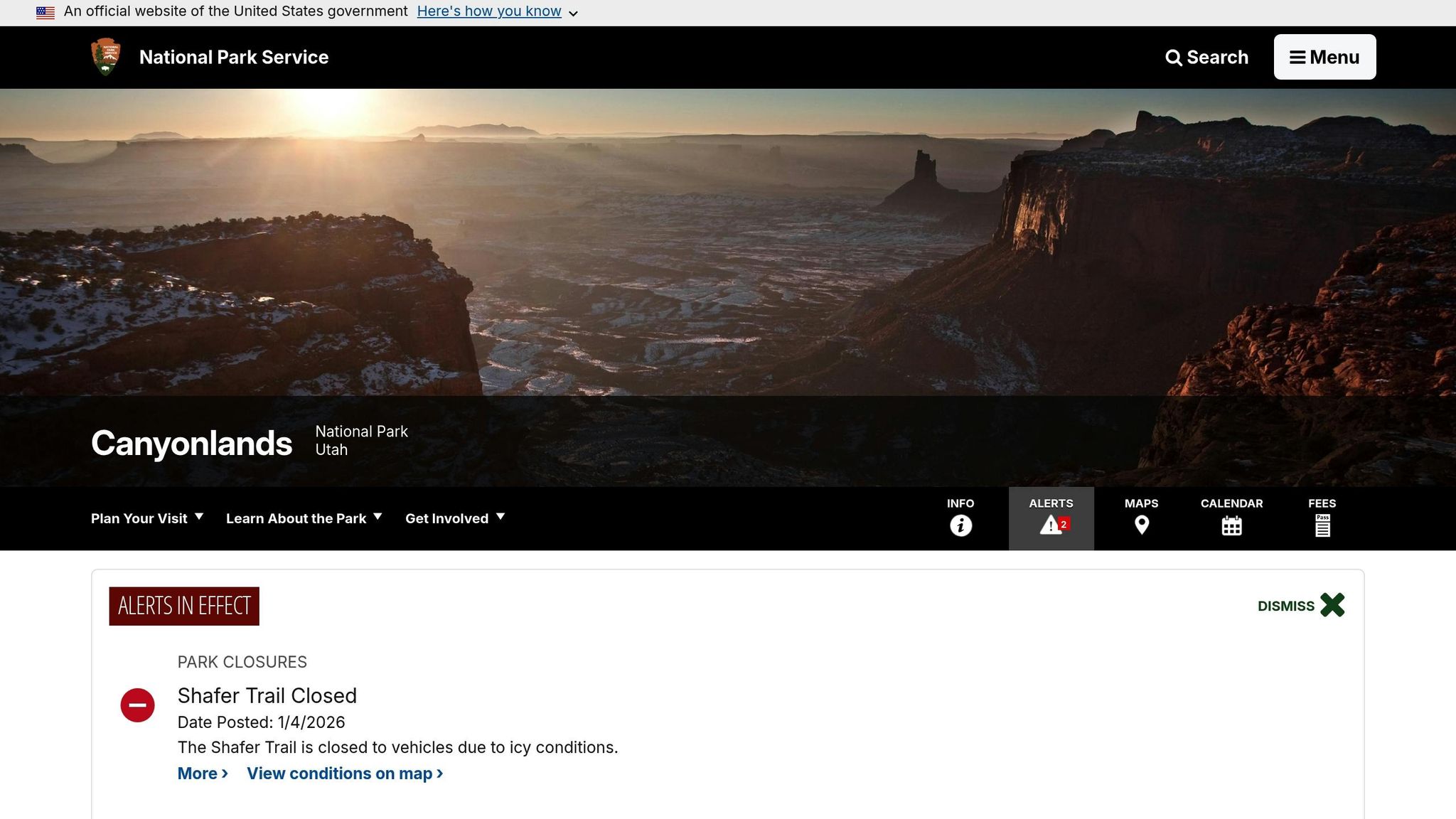
Stretching 100 miles through Canyonlands National Park, the White Rim Road offers an unforgettable journey through stunning desert landscapes. The route loops around the Island in the Sky mesa, descending about 1,500 feet along the striking White Rim Sandstone [100, 98]. Your adventure begins with the dramatic Shafer Canyon Switchbacks, where towering red rock walls surround you as you descend. Along the way, you’ll come across landmarks like Musselman Arch, a natural stone bridge that invites close inspection but isn’t safe to walk on [95, 96].
Monument Basin provides breathtaking views of towering siltstone pillars rising from deep canyons, while a detour to White Crack rewards you with sweeping vistas of the Green and Colorado Rivers’ confluence, as well as a glimpse of the Needles district in the distance [95, 98]. The landscape is dotted with striking formations, including Airport Tower, Monster Tower, and the Moses and Zeus spires in Taylor Canyon. For even more stunning perspectives, stop by Gooseneck Overlook and Colorado River Overlook to take in the river’s dramatic horseshoe bends [95, 98].
Before you set out, make sure you’re familiar with the vehicle and permit requirements for this challenging route.
Accessibility and Road Conditions
Driving the White Rim Road is no casual outing – it demands preparation and the right vehicle. You’ll need a high-clearance, four-wheel-drive vehicle equipped with low-range gear (4LO). Be aware that AWD vehicles, ATVs, and UTVs are prohibited. The road itself is unpaved and features rugged slickrock, loose stones, deep sand, and steep switchbacks. Particularly tough sections, like Murphy Hogback and Hardscrabble Hill, challenge even experienced drivers with their narrow, rocky paths.
Permits are required to access the road. Day-use permits cost $6 and are capped at 50 vehicles daily, while overnight permits are $36 plus $5 per person, per night. There’s also a $30 park entrance fee per vehicle. Most drivers take 2–3 days to complete the loop, as the 15 mph speed limit and rough terrain keep speeds to around 7–10 mph. Keep in mind, towing services in this remote area can cost over $1,000. Pack essentials like a full-size spare tire, extra fuel, a shovel, a high-lift jack, and at least one gallon of water per person per day. Remember, there’s no potable water, food, or fuel available anywhere along the route [99, 102].
Seasonal Considerations
The best times to tackle the White Rim Road are spring (March–April) and fall (September–October), when temperatures are mild and the weather is generally stable. However, these seasons are popular, and overnight permits may need to be reserved up to four months in advance. Summer presents its own challenges, with temperatures often soaring above 100°F. While the longer daylight hours (13–14 hours) make one-day trips possible, the heat can be intense.
Winter conditions can bring their own difficulties. Temperatures may drop to 20°F, and snow chains are required for vehicles. High-elevation areas like the Shafer Trail may even close due to ice [104, 102]. Additionally, from early May to late June, high water levels on the Green River can flood parts of the road, making the full loop impassable. Always check the latest road conditions at the Island in the Sky Visitor Center before starting your trip.
10 Great National Parks for the Most BEAUTIFUL Scenic Drives
Planning Tips for Scenic Drives
Scenic drives can be breathtaking, but they come with their own set of planning hurdles. Before heading out, check the latest updates on the National Park Service (NPS) website. Many high-altitude routes are seasonal. For example, Trail Ridge Road in Rocky Mountain National Park usually opens from late May to October, while Glacier’s Going-to-the-Sun Road might not fully open until late June or even July. Similarly, Crater Lake’s Rim Drive is typically closed from November through May due to a staggering annual snowfall of 44 feet. Staying informed helps you avoid unexpected road closures.
Choose a vehicle that suits the conditions of your chosen route. While many scenic drives, like Going-to-the-Sun Road or Trail Ridge Road, are fine for standard passenger cars, some areas have restrictions. For instance, Glacier National Park limits vehicles to 21 feet in length and 8 feet in width on certain sections. On the other hand, unpaved routes like Capitol Reef’s Cathedral Valley Loop demand a high-clearance, four-wheel-drive vehicle, especially for river crossings. In Zion National Park, private vehicles aren’t allowed on Zion Canyon Scenic Drive during spring through fall, so visitors must rely on the free park shuttle instead.
Be prepared with essentials. Always fill up your gas tank, download offline maps, and bring a physical map just in case. Pack a spare tire, extra water, and snacks. If your route involves mountain roads during fall, winter, or early spring, carry tire chains – they’re often required on roads like Sequoia’s Generals Highway.
Weather and altitude are major factors to consider. Desert parks like Death Valley are best visited between October and May, when temperatures are more manageable compared to the scorching summer highs of over 120°F. High-altitude routes, such as Trail Ridge Road, which climbs to 12,183 feet, can impact both your vehicle’s performance and your own breathing. Stay mindful of wildlife, too – maintain at least 100 yards from bears and wolves, and 25 yards from elk, bison, and other large animals. While dawn and dusk are prime times for spotting wildlife, they also come with a higher risk of collisions.
If you plan to visit multiple parks, consider the America the Beautiful Pass, which costs $80 annually and grants access to over 2,000 federal recreation sites, including all national parks. Without the pass, you’ll need to pay individual park entrance fees. Finally, allow extra time for your drive – speed limits vary, with alpine areas often capped at 25 mph and other sections at 45 mph.
Conclusion
Scenic drives are one of the most enjoyable ways to soak in the beauty of America’s national parks. They offer stunning views without requiring the physical effort of long hikes. From the comfort of your car, you can admire sweeping landscapes, spot wildlife like bears and bison, and witness the incredible variety of ecosystems these parks protect. Imagine watching the sunrise from Trail Ridge Road at an elevation of 12,183 feet or cruising along the iconic Going-to-the-Sun Road – these drives create memories that stay with you long after the journey ends. But the key to making the most of these experiences lies in thoughtful preparation.
Before setting out, check road conditions and confirm if reservations are needed. Make sure your vehicle is equipped for the route, fill up your gas tank, and download offline maps. Pack essentials like water, snacks, and layers to stay comfortable no matter the weather. Whether you’re planning a quick day trip or a longer road trip spanning multiple parks, consider investing in the America the Beautiful Pass. For $80 a year, this pass grants access to over 2,000 federal recreation sites. With a little planning and this pass in hand, you’ll be ready to explore the breathtaking vistas of America’s national parks like never before.
FAQs
Are there vehicle size restrictions on national park scenic drives?
Yes, many national parks have restrictions on vehicle sizes for scenic drives, so it’s smart to plan ahead. Most routes are fine for passenger cars and small to midsize RVs, but larger vehicles might run into limitations. For instance, some parks cap single vehicle lengths between 22 and 30 feet, while combined setups like trucks towing trailers may have different restrictions.
Height limits are another thing to keep in mind, especially on roads with tunnels. In Yosemite, for example, tunnel clearances range from 10 feet 2 inches at the curb to 13 feet 6 inches on the valley side. Some scenic roads may even ban oversized vehicles altogether, often during certain seasons or due to specific road conditions.
To avoid any hiccups, check the park’s website or give them a call before heading out. This way, you’ll be better prepared to enjoy the incredible scenery without any unexpected detours.
How can I prepare for seasonal road closures when visiting national parks?
Seasonal road closures are a regular occurrence in national parks, particularly on high-elevation roads during the winter. To stay ahead of any surprises, make it a habit to check the park’s official website or use the NPS app for the latest updates on road conditions and reopening schedules. A little preparation and a flexible mindset can go a long way in ensuring your trip goes smoothly.
Before you hit the road, get your vehicle ready. Fill up your gas tank, pack essential emergency supplies like water, snacks, blankets, and a first-aid kit, and download offline maps since cell service can be spotty in remote areas. If you find a road is closed, consider exploring alternate scenic routes or adjusting your travel plans to a time when more roads are open. Staying tuned to weather forecasts can also help you avoid unexpected setbacks.
What are the must-see stops on these scenic drives?
Here’s a glimpse into two of the most famous scenic drives in national parks and the must-see stops along the way:
- Glacier National Park – Going-to-the-Sun Road: Make sure to visit Logan Pass, the highest point on this iconic route. It offers stunning mountain vistas and serves as a gateway to several alpine trails.
- Joshua Tree National Park – Park Boulevard: Be sure to check out Cap Rock, an eye-catching rock formation; Ryan Mountain, where a short hike rewards you with sweeping views; and Skull Rock, a sandstone formation that’s perfect for memorable photos.
For more scenic drives, explore official park resources and travel guides to pair each route with its standout landmarks and viewpoints.